- Review: HOTT Sauna – The most portable sauna tent? - February 5, 2026
- Review: Telttasaana Sauna Tent – Narvi stove is the MVP! - February 4, 2026
- The Best Sauna Tents – A Complete Guide (2026) - January 22, 2026
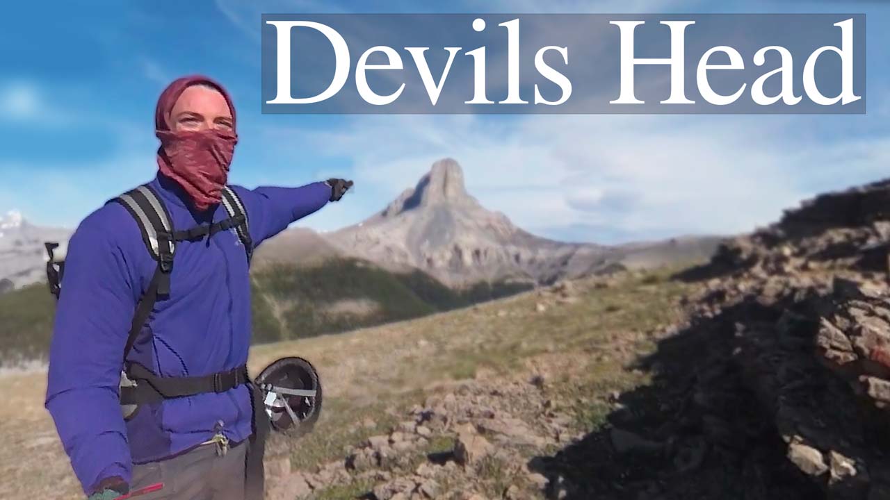
If you’re looking to do the (maps link) Devils Head Alberta hike/climb, you’re in for a fun challenge! 18km long and rated hard by Alltrails, it’s a perfect adventure for novices looking to test their abilities.
A long all-day affair, you’re going to want to sleep overnight nearby and begin in the early morning – lest you’re a trail runner and have high amounts of confidence.
Note: This is a fairly challenging scramble which involves lethal rockfall and climbing rope for certain sections. Do not attempt unprepared. Many people turn back.
HELMETS AND CLIMBING EQUIPMENT IS A MUST.
We did this climb in July. June, July, August are really the only viable months unless you’re comfortable with ice climbing or higher risk/less sunlight. Use Sentinal Hub to scout the weather conditions of Devils Head beforehand.
Table of Contents
Devils Head .GPX route
Here’s the approximate .GPX route I took. It is accurate all the way to the base of the hike, where I accidentally turned my navigation unit on/off mistakenly. Here’s an online link to the Devils Head .gpx route or path we took.
We followed this route the exact same way down.
Devils Head Alberta .gpx download link
Generic route of Devils Head Alberta .gpx download

Where to camp for Devils Head Alberta
Situated alongside the Ghost River, you have the whole of the Ghost River recreation area to find an area to camp out at.
You can come into the rec area by way of the frequently travelled (yet rough) access road to the Ghost River gulley.
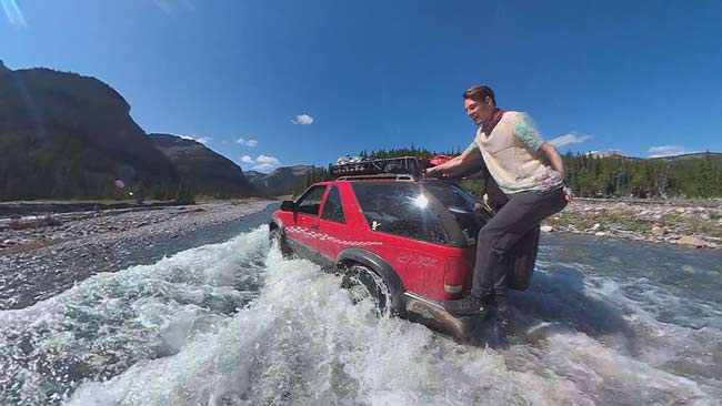
Then we followed the riverbed with a 4×4 vehicle to this camp area below. This is the very edge of the legal camping area. You can see this in part 1 of the video series at the bottom. GPS Co-ordinates: 51°19’04.3″N 115°12’29.6″W
Alternative formatting GPS co-ordinates: 51.317864, -115.208208
To get here you will need a truck or off-road vehicle and hope that the river isn’t too high. Both a 2000 Chevy Blazer and 2007 F150 had no problem but got a little dinged up.
Otherwise, you can camp anywhere alongside the Ghost River though the walk in will be longer and trust me, you’ll appreciate a short walk in.
Too far North or South by the way is technically Don Getty Wildland Provincial Parks area – know the boundaries!
Do you need climbing rope for the Devils Head hike?
Yes.
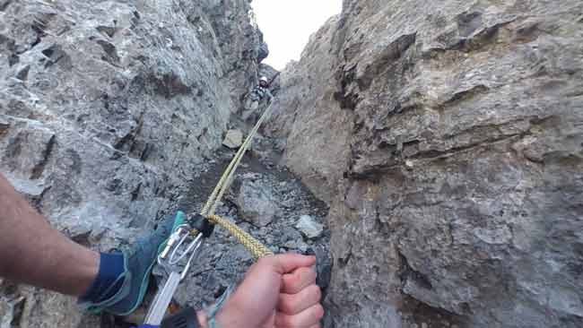
Unless you’re a very skilled free climber, getting down the main crux will be nigh impossible. Lethal if you will, I wouldn’t dare try this without ropes and even our extremely talented free climbing friend Xavier would much rather use a rope for downclimbing this chunk.
Bring rope. BRING HELMETS. The rockfall is lethal. As aware and on-point we were with calling rocks, I still got beaned by a fist-sized chunk while at a dangerous point (captured on the 2nd video!). Again, BRING HELMETS!!

Other tips and things to know about the Devils Head hike
- You’re going to have to do some river crossings. At least 3 on the way there and 3 on the way back, maybe more if you started somewhere else. It’s cold, knee-deep, and a little slippery. Don’t fall in and you’ll have to take your shoes off unless you want wet feet all day.
- Bad weather? Forget about it. If winds are strong or if rainfall is coming, don’t climb. Strong winds can start a lethal rockslide or shove rocks down into you. Rain for that reason too and it makes footing a lot harder.
- Expect a long hike. We took a lengthy 14 hours since the hike in and out to the mountain itself is long. That and we had 5 people and injured legs which slowed things down substantially.


- Don’t be afraid to turn back. If you have hesitations or fears, don’t worry – sad feelings is better than a broken ankle. No STARS helicopters please – Devils Head is aptly named.
- Food & water – It’s a long and arduous ascent. Anticipate 2,000kcal+ and 2L of nutrition needed. Xavier however completed it with one mango and 1l of water (he’s a genuine anomaly though, don’t do this!) I burnt ~7,000 calories this day.
- Bears? We didn’t feel ‘bear vibes’ alongside this area but you never know. Poor Ben which we left as basecamp was (rightfully) spooked the whole time we were gone. It is the Canadian Rockies after all.
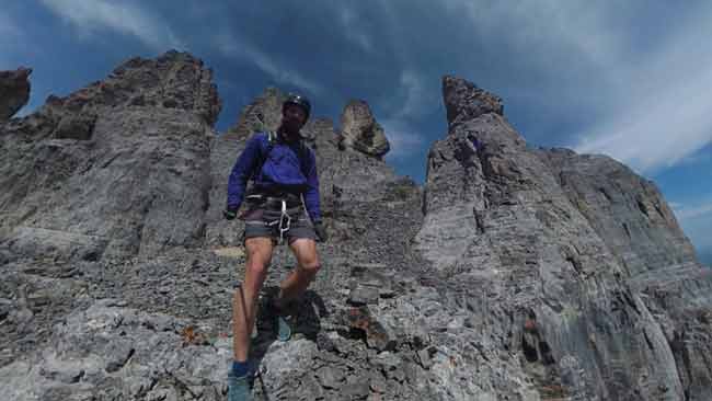

- Pack light to make it all easier. I wore shorts, a light jacket, t shirt, light gloves, Vivobarefoot Primus Trail shoes, and helmet. The rest was a headlamp, food, water, harness, and climbing equipment. None of us brought climbing shoes and two of us used barefoot shoes.
- Bring a first aide kit. A complete and total kit. Adequate navigation gear is also very useful.
Summarized Devils Head Hike route
- River crossings (3 or more)
- At the waterfall, turn left, up the hill
- Follow Bastion Ridge to Devils Head
- Arrival on East side of Devils Head. Skirt around to the South side.
- Begin ascent up main drainage
- Hang left at the split drainage
- Ascend to the East once you can’t go North anymore
- Crux
- Continue East to near summit
- Final technical chunks facing North
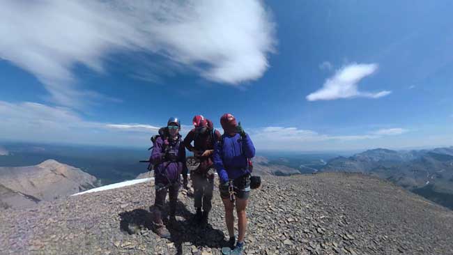
- Summit
- Retrace steps to return

Video of climbing Devils Head, Alberta
We couldn’t let this opportunity go to waste. I threw my action camera/trekking pole combo onto my backpack and set forth. I divided the Devils Head hike into three chunks which you can see below:
Climbing Devils Head Alberta part 1 (River crossings – Base of ascent)
Climbing Devils Head Alberta part 2 (Ascent continued)
Climbing Devils Head Alberta part 3 (Descent)
Final cliff notes and summary of Devils Head hike, Alberta
It was our favorite and most challenging hike of the year. Moments of fear, frustration, and excitement. While it’s not much compared to ‘real’ challenges out there – it’s an excellent way to test your abilities and graduate to the next level of mountaineering.
Again, watch my video series on the hike – I show the camping spot, hike in, Bastion Ridge crossing, spot where we hike, and every important aspect. The overlaid .gpx map is accurate and sadly I lost that file in a computer reset.
If you have questions or thoughts please drop a comment below or reach out on my social media – I’m glad to help out! Anyways, peace.
Consider donating a coffee-amount of coins via PayPal if my article helped you 🙂
Wow! Did Black Rock Mountain yesterday and was wondering about this Devil’s Head. It is indeed aptly named! Great job guys 👌
Black Rock Mountain is awesome too! Devils Head is definitely a great challenge – gotta love the Alberta Rockies 🙂
Great info.
Lucky me I found your website by chance (stumbleupon).
I have book-marked it
for later!